

south Austin
trail network
South Austin Trail Network is a system of interconnected greenbelts tucked away into the suburbs of South Austin from Onion Creek Park all the way to FM1826. Some of these trails are leftovers from an era when this land was owned by ranchers, and indeed you will find many barbed wire fences crisscrossing through the network, some embedded into the trees that have grown in around them. Other trails have been carved out by bandits who bushwhack their way into our hearts. Residents of Circle C, Legend Oaks, Western Oaks, Shady Hollow, and numerous other neighborhoods consider this system their backyard.
The individual greenbelt trail systems have been cleverly linked together using underpasses and drainage tunnels, with few pavement miles or road crossings required to complete an epic ride of 25 miles or more. The primarily intermediate terrain is mostly cross country with mild elevation and many rock gardens on over 100 miles of single track. This is a network tailor made to the cross-country shredder who wants to work on fitness and endurance; however, there are multiple features that will thrill even the advanced rider looking to get rowdy. Meridian Bowl and the drop on E-Spank come to mind.
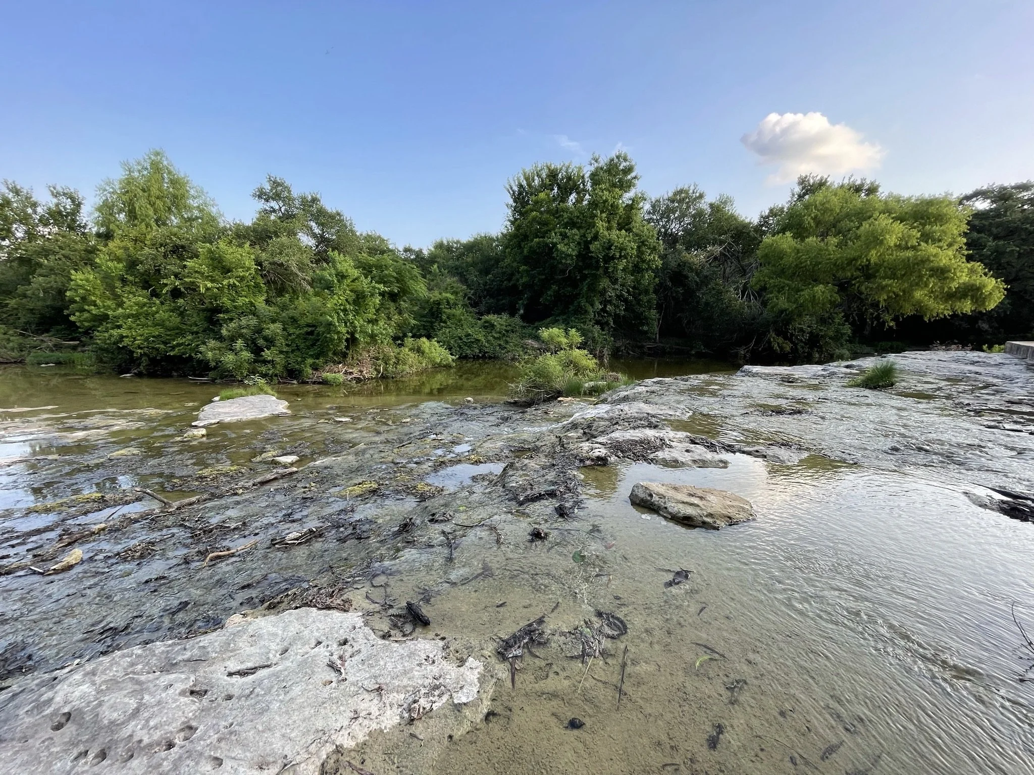
The network is mostly unsanctioned by the City of Austin at this point in time; however, the Maxwell Slaughter Creek Trail is official, and is a great representation of the areas native blackland prairie.
This network is often recommended to beginners, and it is definitely more mellow than some of the other popular riding areas in Central Texas; however, it is easy to get lost, and you may find yourself walking more rock gardens than you anticipated. For that reason, SATN is often best experienced with a guide, or with a handy navigation app.
Upcoming SATN Events
Regions of SATN

Maxwell Slaughter Creek
A one way five-mile loop that is rocky and has mild elevation and scenic views of southwest austin.

Circle C Metro Park
The beating heart of the entire network. A dense tangle of trails means you can put in a ton of miles without ever being too far from the car. It also means you might spend a little time going in circles, but you
Mary Moore Searight Park
Over seven miles of single track tucked into this park with ample shade, and a bit more elevation than you were probably expecting.

Veloway
Some of the top trails and toughest challenges in the network are located in this region surrounding the popular paved roadie destination. home to the well known espank trail.

Meridian
There is some elevation to play around on out here. Not much, but enough to practice drops and pretend you are between the tape racing an enduro stage!

Williamson Creek
One of the less explored regions of the network, which is a real shame because nobody is going to know about the collection of rusted soup cans.

This page is being built. Hang in there.
SH45 / Loop 1
Did you know there are trails in the median of SH45 and MoPac? These are some of the longest and flattest trails in South Austin Trail Network. A great place to practice flat corners!
This page is being built. Hang in there.
Dick Nichols Park
Get some gravel miles in! There is a concrete pathway circling the park, as well as the Western Oaks Hike and Bike Trail and the Violet Crown Trail. But it’s not all gravel; there is some chunk in the creek bed.
This page is being built. Hang in there.
Kincheon Branch
A long corridor along the Kincheon Branch creek bed connecting Dick Nichols to Sunset Valley.
This page is being built. Hang in there.
Bauerle / Canterbury
Fast and flowy loops on the east and west side of Manchaca in Bauerle Ranch and Canterbury Trails.